|
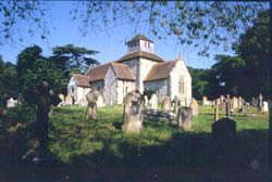
St Mary's Church |
1. Historical Outline Man has inhabited the area from early times. Signs of Neolithic and Bronze ages can still be seen on the chalk down lands beyond Breamore Wood. These include early burial sites such as the long barrow known as the "Giant's Grave" and a number of round barrows. The northeastern boundary of the parish follows Grims Ditch, part of the extensive ditch system which divided up the Bronze Age downland landscape. By the Iron Age, farms and hamlets were being established throughout the area. At least five sites are now known as a result of archaeological surveys. These farms continued in use into the Roman period. The battle of Cerdic's Ford, which gave its name to Charford, in the north of the parish, took place in 519AD. This eventually resulted in the establishment of the kingdom of Wessex. The settlement known as 'Brumore', the forerunner of the modern village, probably originated around the middle of the Saxon period, in the area of North Street and the church. The church was built around the end of the 10th century. The Doomsday Survey, completed in 1086 is the only surviving documentary detail of
Saxon life in the village. The Doomsday Entry states:- "The King holds Brumore which belongs to the manor of Rockbourne and as held by King Edward. Here is 1 plough land in demesne and 4 villeins and 8 borderers with 4 plough lands, also 82 acres of meadow. This manor 2 1/2 hides and wood for 50 hogs are in the forest and they pay 51/8d. There is forest land in Brumore, Rockbourne, Broughton and Burgate which together was worth £13. l0s." The village, consisting of twelve dwellings at the time of the Doomsday Survey, seems to have been situated along the present day Upper Street. Gradually the settlement spread southwards and eastwards with new groups of houses
around the Marsh and the Mill - |
|
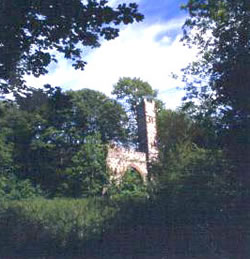
Folly in Breamore Wood |
The Priory was founded on the west bank of the Avon in about 1130. Over the next two centuries it acquired about half of the houses and land in the village, much of it on the more recently settled southern side. The remainder was retained by the Earls of Devon as Lords of the Manor of Breamore and they built a substantial manor house near the church. On the 5th July 1536 the Priory was dissolved and its property granted to new owners. By 1580, William Dodington, Auditor of the Tower Mint, had purchased the village, including the former Priory property. He soon built the splendid new manor house which survives today. The housing stock remained largely medieval in style until the end of the 16th century, when the great "Tudor rebuild" began. Some of the cottages which we see in Breamore today replaced the former tiny and often unsanitary dwellings at this time. |
|
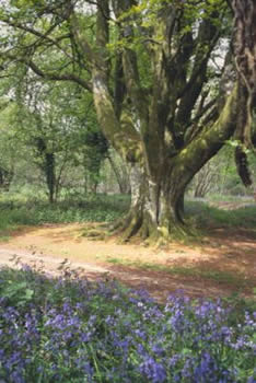
Bridleway through Breamore Wood |
|
| Statutary Documents |
| Public Land and Building Assets |
| List of Councillors |
| Minutes of Meetings |
| Council Policies & Documents |
| Agenda |
| Expenditure over £100 |
| BDC Key Dates 2021 |
| Current Notices |
| Minutes Archive |
| Landscape Character |
| Settlement Pattern Character |
| Buildings and Spaces |
| Highways and Traffic |
| Harnham Monitor |
| East Mills Flume |


